And so the stories regarding places in Medina and Mecca is coming to and end. Thursday 11th April 2012 after sunset we left the city of Mecca to get to Jeddah where lies the main international airport. We arrived before 10 pm and boarded the plane before 1 am. Soon we were on our way to return to Malaysia.
OK. The flight takes about 9 hours advancing through 5 time zones. Me and wife mostly slept. Then we noticed it was already bright.
Looking out the window I noticed the land shape at the north tip of Aceh, part of the big island called Sumatera (Sumatra).
I know this for a fact as I have studied maps and satellite pictures around rather thoroughly. I remembered, on my return trip from Jeddah in 2005 (which was for my first time visiting the Arab city of Medina and doing the pilgrimage act of umrah in Mecca) my plane then passed directly over the Aceh capital city of Banda Aceh where my eyes spotted its famous mosque, the Masjid Baiturrahman.
This plane however seemed to take a route further east. Next I spotted what should be the extinct volcano known as Seulawah Agam, about 5,000 feet high above sea level.
The plane continued to follow the coast of Aceh...
Then it started passing overland. I recognised this as the part of Aceh extending to the east.
In order to see the sea or rather, the Straits of Melaka, I have to get to the left-side of the plane.
Ah. That tip of land. That should be Tanjung Jambu Ayer, an area that felt like it has certain spiritual significance to me.
After the tip the land stretches back south-east. Then I caught sight of a city which should be Langsa, the closest towards the Aceh south-east border.
Next is the part of land where lies the said border.
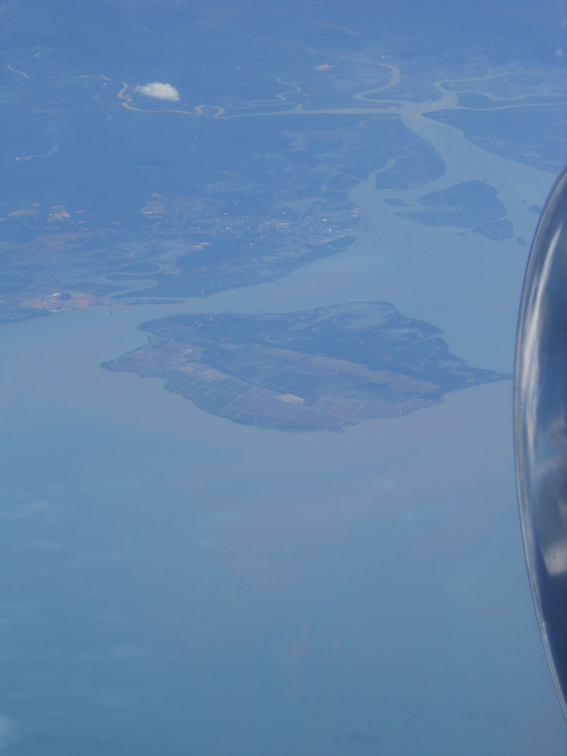
To the south lies the Indonesian province of Sumatera Utara (North Sumatra). Seen in this close-up is an island called Pulau Sembilan located within the province.