Friday, December 31, 2021

'Artificial lake' at Felda Mengkarak

 Continuing from Aftermath at Karak-Simpang Pelangai road part 2.


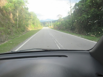
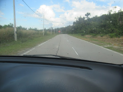
As we were targeting to make a stop at the town of Temerloh, Google Map showed this road as the nearest connecting one.


It is located at Felda Mengkarak.


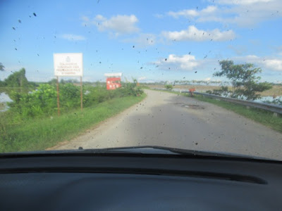
Despite some bumps and having to pass at a shallow enough stretch of flood we soon came across what seemed like a lake at the roadsides...


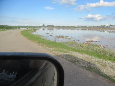
Still we pressed on hoping to get to Temerloh via this road.


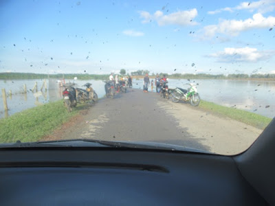
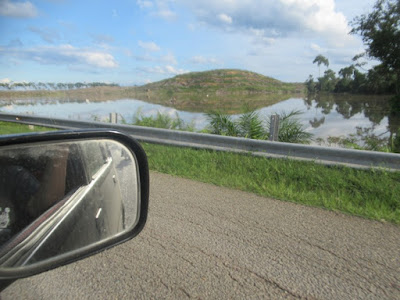
Then came the end of the line.


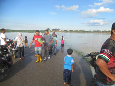
I was told that the next stretch of road was flooded up to hip level.


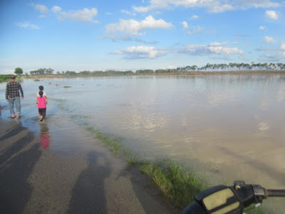
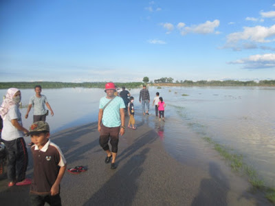
There is no way who could get through with our small car...


Aftermath at Karak-Simpang Pelangai road part 2

 Continuing from Aftermath at Karak-Simpang Pelangai road.


After about 40 minutes waiting the stretch was cleared enough for vehicles to pass.


We soon came across vehicles waiting from the other side...


The fact that there vehicles from that side was a guarantee that this road could be taken on till its end despite whatever aftermath...


Aftermath at Karak-Simpang Pelangai road

 Continuing from Aftermath around Karak.


We were next told that after Karak vehicles could not get pass the small town of Lanchang as the flood have not subsided enough. It was still at the chest level of an adult. The only alternative left is to take the road to Simpang Pelangai near the Pahang-Negeri Sembilan states border. Even then there were no guarantees...


Eager to still get to the East Coast we decided to risk our way.


Soon enough we could see the aftermaths from heavy rain of Friday and Saturday in between comfortable stretches of road...


Next we arrived a long queue of vehicles. Never mind made we continued towards the end of the queue...


As it turned out there was still a stretch to be cleared up...


Here there was a combination of flood from the Telemong river and landslide from a nearby hill blocking the road...


Aftermath around Karak

 Continuing from Taking on the Central Spine Road.


Next Google Map led to a sort of village road.


Soon we came across another aftermath of the recent heavy rain, this time from a landslide...


Google Map then got us to enter the East Coast highway...


Here could also be seen aftermath from heavy rain...


In fact the highway was affected at so many places that we could only pass a few kilometres of it before being redirected on to a regular road...


This one leads into the town of Karak...


There. Look at the aftermath just outside town...