OK. I can avoid using the anglicised name Penang by just referring to its original Malay name Pulau Pinang. But as much as I hate it, in order to refer to its main town on the island part of Pulau Pinang (the state has a mainland part called Seberang Perai) one just can't avoid using the colonial name Georgetown. You see the name was given by the colonialists English or British and it is still in use. Unless I want to remain rather vague by just calling it the main town of Pulau Pinang, Georgetown has to suffice. So there.
In the last piece on the trip to the north made during the Muslim fasting month of Ramadhan, the article
Pantai Merdeka at night made 2 days ago I talked about the parts of of Kedah we went to on the eve of the Malaysian National Day or rather the Independence Day commemorated on 31st August. By midnight I was already heading to Pulau Pinang. So this is what happened the following day...
 31st August 2010, it's a holiday. After getting a nice sleep at a budget hotel we started going around Georgetown.
 Now, I'm not sufficiently versed in the names of the streets. But here I believe we were passing through its old financial district.

If I remember correctly we were then headed south.


Then just before the town's southern borders we made a right turn heading east towards the tallest building called Komtar, a building tall enough to put back our position in perspective to everywhere else.

If I got my natural compass right at this juncture we were going north-east.

The building to the left is the base of Komtar.

The one-way street around the building form a sort of giant roundabout.


Believe me, whenever you got lost driving in Georgetown you can head straight to Komtar to get your bearing back.
 After visiting a number of places in Georgetown it's time to leave the island.
 If the night before we entered the island by ferry from Butterworth in Seberang Perai, in the afternoon we left via the Pulau Pinang bridge.
 This 13.5 km or so long bridge never fails to offer nice vistas...
 That's Georgetown by the way.
 The bridge is flat for a distance...
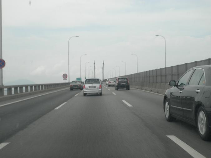 It will only rise at the centre marked by the pillars...
 There. The bridge starts to rise...
 For it is at these parts that large ships could pass underneath.
 Then the bridge went down.
 Next it is curved on to the mainland.


