Peace be upon you all dear fair folks. I'm starting a new series in my main blogspot CATATAN SI MERAH SILU based on my trip to South Sulawesi (the Celebes) 3-12 May. As usual there would be supporting articles. Here's the first one...

Friday 3rd May 2013 around 2.30 pm. Right on schedule my plane was ready to take off.

My wife and our two young kids were with me. Soon we're on air rising pass the highway leading to the airport known simply as the KLIA (Kuala Lumpur International Airport).

Just to be clear. We flew on Air Asia which took off from the low-cost terminal of KLIA known as the LCCT. Seen in this picture is a new terminal known as the KLIA 2 which was still in progress.

The plane started to go southwards following the western coastline of Peninsular Malaysia. This should be at Port Dickson.

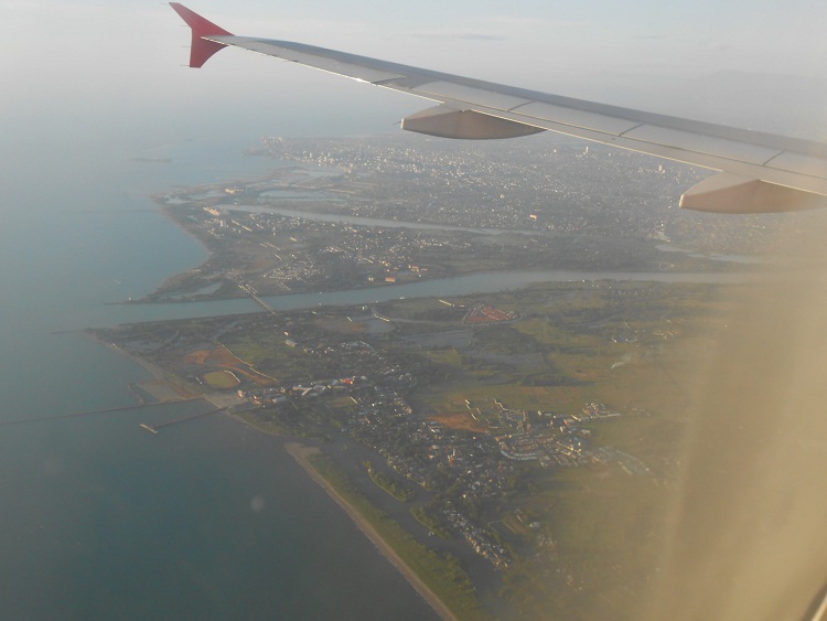
Soon we could see the Linggi river which forms the natural border between the states of Negeri Sembilan (to the left) and Melaka.


Next is the portion of land close to the city of Melaka. One could see the reclamation project close to a small island called Pulau Upih. The city is to the right.

Some 15 km south of the city is the island known as Pulau Besar.

Next, the twist and turns of the mighty river called Sungai Muar in the state of Johor.

The river of Batu Pahat.

Then I stopped taking pictures... until I noticed what should be the straits dividing the south of Johor from the island republic of Singapura (Singapore).

And how do I recognise all these? Because I have studied the relevant maps since I was kid followed by studies of satellite pictures via Google Earth the last 3-4 years. Once I saw the dense concentration of buildings down there I know for sure the plane was above Singapura.

Above this island I could see the plane turning a substantial angle eastwards...

Next in view is the western tip of the island along with the south-east tip of Johor.

The next mass of land should be the island of Bentan which lies in the Riau Archipelago in Indonesia.

But upon checking with Google Earth it seems the previous picture is that of Batam island which is also in Riau. For the record the island lies south of Singapura. This one should be that of Bentan which lies to the east of Batam.

This was followed by a vast tract of water. When land emerged I immediately recognised it as part of Borneo, said to be the third largest island in the world. Now, I'm not that familiar with the geography of this island. But following the flight path I positively know we're flying above the bigger southern portion known as Kalimantan, in the republic of Indonesia.

Oh. I forgot to mention our destination is the city of Makassar, the main urbanised area in South Sulawesi, in fact the biggest city in East Indonesia. Anyway I saw a number of rainbows as we ply our route through Kalimantan.

After Kalimantan there was another stretch of sea. Then we could see the city of Makassar as our plane was finishing its 3-hour designated journey.
No comments:
Post a Comment