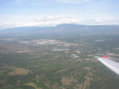
 And so we have checked in and boarded the plane. Soon it was time to take off. Here's the view as we are about to reach 100 metres vertical or so...
 As the plane made a spiral manouvre to climb up to the right optimal height, vistas began to open up...
 It took only a minute or so to reach the ideal flying height of about 10,000 feet or 3,000 plus metres above sea level. Here you could see the backbone mountain range known as Bukit Barisan along with the airport strip in sight...
 The plane continues south-eastwards. I believe the mountain called Seulawah lies somewhere under these clouds...
 Soon we reached the coastal areas. A check with Google Earth shows it matches the terrains heading towards Bireuen...
 I can't tell for sure where this is...
 But from the profile of the river seen here I could say that Bireuen is just 13 km or so away...
 OK. Again I lost bearing. I think much of the portion of this particular segment of flight is overland... while the sky at times was not so clear making it hard for me to pinpoint any landmark or recognisable unique terrain...
 By the time I found my bearing again, the terrain matches the coastal area near Langsa which is some 400 km by road from Banda Aceh...


No comments:
Post a Comment